
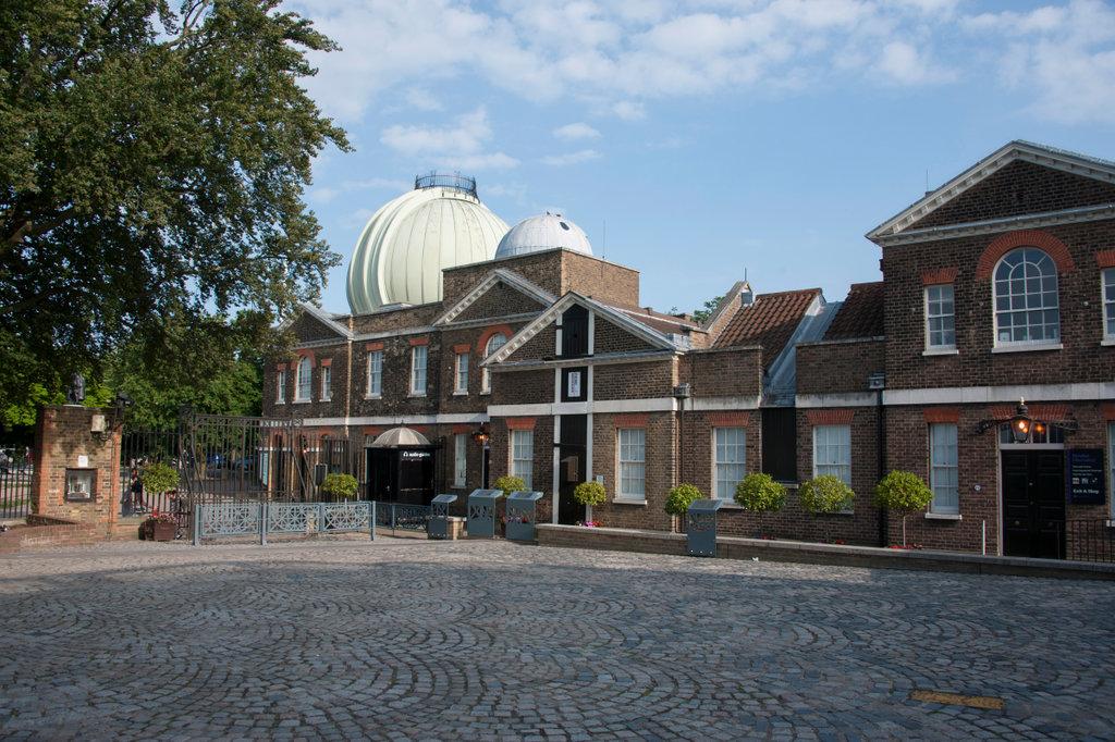
Royal Observatory Greenwich is famous around the world as the home of the historic Prime Meridian.
Just as the equator separates the northern and southern hemispheres, the Prime Meridian separates the eastern and western hemispheres. When you stand across the line, you have one foot in the east and one in the west.
But what exactly is a meridian, and why is the Prime Meridian in Greenwich? What does all this have to do with latitude, longitude and working out where you are?
Discover more about the historic Prime Meridian of the world below, then visit the Royal Observatory to find your own place in the history of time and space.
Image

Prime Meridian facts
- From pole to pole, the Prime Meridian covers a distance of 20,000 km.
- In the northern hemisphere, the Prime Meridian passes through the UK, France and Spain in Europe, and Algeria, Mali, Burkina Faso, Togo and Ghana in Africa.
- The only landmass crossed by the Meridian in the southern hemisphere is Antarctica.
- Although the Prime Meridian passes through eight countries and crosses three continents, for nearly two thirds of its length it passes over the sea.
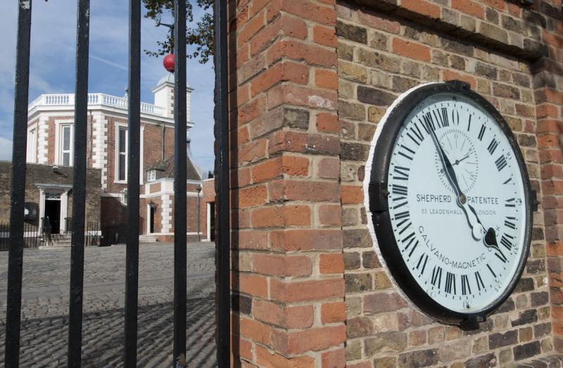
- The Prime Meridian in Greenwich is marked by a metal line fixed into the Royal Observatory courtyard, and at night by a laser beam. The beam originates from a point above the Airy Transit Circle, the telescope used to determine the Greenwich Meridian. Depending on atmospheric conditions, the beam can be seen from more than 20 km away.
Find more fascinating facts in On the Line: the Story of the Greenwich Meridian
What is a meridian?
A meridian is an imaginary line running north to south that is used as a reference line for astronomical observations. By noting the exact time each star crosses the meridian, it's possible to build up an accurate map of the sky.
Meridian lines also help to measure distances and plot locations here on Earth by offering a way to determine longitude.
What are latitude and longitude?
To pinpoint exactly where you are in the world, you need to know both your latitude and longitude.
Latitude is a calculation of how far north or south you are from a common reference line. Longitude is how far east or west you are.
Latitude is (relatively) easy; the equator runs around the middle of Earth, dividing the northern and southern hemispheres. A person's latitude can therefore be calculated from this shared reference line.
Longitude is more complicated. Unlike the equator, there is no 'natural' line dividing the eastern and western hemispheres, and therefore no obvious place from which to measure longitude. In order to have an agreed way of finding locations east and west, we need a common reference: a 'prime meridian'.
What is the Prime Meridian?
Any north-south line can be a meridian. A prime meridian, however, is the meridian chosen to be zero degrees longitude for common reference: the line from which all locations east and west can be measured.
For centuries, people have chosen different meridians to be their prime meridian. The collections at Royal Museums Greenwich include many examples of historic maps that used different meridians.
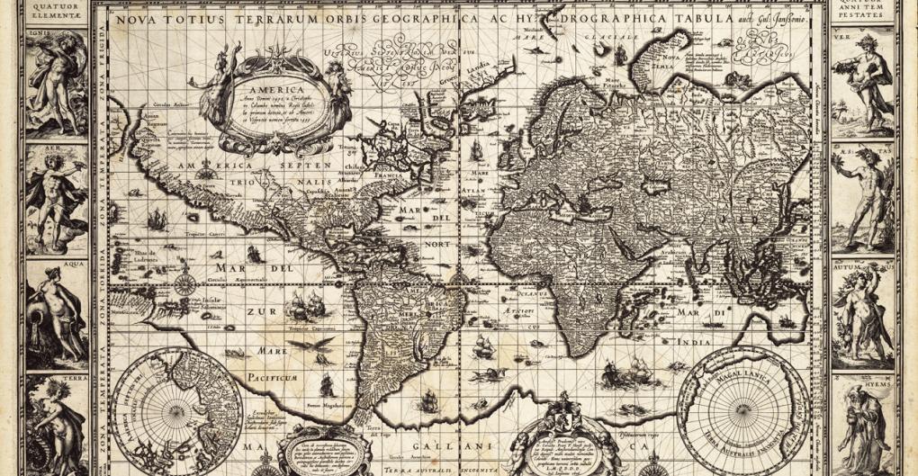
1606 map of the world
G201:1/25 • Charts & Maps
Produced by Willem Janszoon Blaeu in 1606, this world map shows the prime meridian (the line in the centre) passing through the Azores.
By the 1880s, however, many people could see the advantages of everyone measuring from a single prime meridian. The only question was, where should it be?
Why is the Prime Meridian in Greenwich?
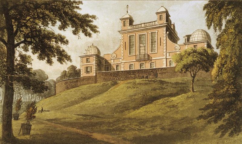
The Royal Observatory was founded by Charles II in 1675, with the aim of finding a way to measure longitude at sea.
In an effort to achieve this, astronomers at Greenwich began to carefully record the time at which certain stars crossed overhead – an event known as a 'transit'.
A series of tables predicting the position of the Sun, Moon and stars throughout the year was eventually produced based on these measurements, giving sailors a way to work out their position at sea. As a result, the Royal Observatory became a vital centre for astronomy, navigation and the measurement of time.
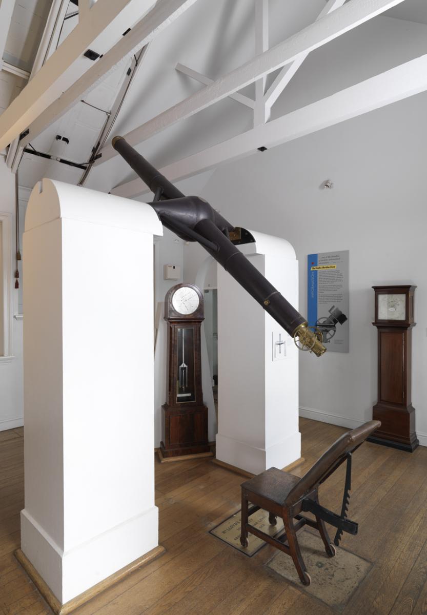
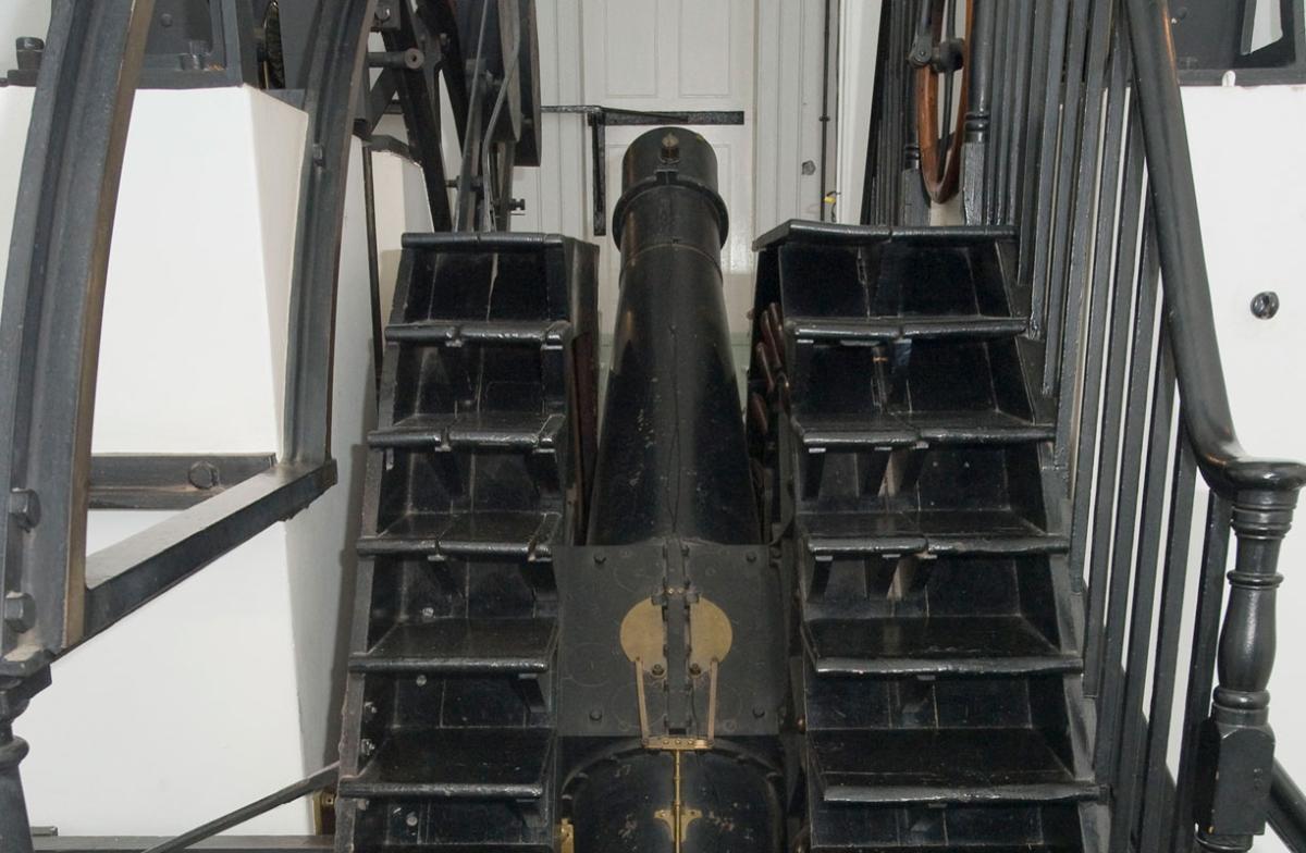
In 1850, a new telescope known as the Airy Transit Circle (named after George Biddell Airy, the seventh Astronomer Royal) was designed for the Royal Observatory. From January 1851 it became the instrument that defined the Greenwich Meridian.
Cartographers, surveyors, navigators and astronomers around the world used observations made in Greenwich, and most shipping companies used charts based on the Greenwich Meridian. Despite this, even in the 1880s countries still used different meridians based on their own national observatories.
In 1884, representatives from different nations gathered in Washington D.C. to choose one single meridian as a common reference.

After weeks of discussion, delegates voted to make the Greenwich Meridian the world's Prime Meridian. The cross-hairs in the eyepiece of the Airy Transit Circle precisely defined zero degrees longitude for the world.
Greenwich was chosen because it offered the least disruption. Nearly two-thirds of the world's ships were already using charts based on the Greenwich Meridian, making the transition to a single Prime Meridian easier.
Conference delegates also recommended a new global time zone system based on Greenwich Mean Time. Greenwich found itself at the centre of world time and navigation.
Image

'Although our lives have changed significantly with new technologies in navigation and timekeeping, the Royal Observatory is a powerful reminder of our enduring relationship with the Sun, Moon and stars.
Using a combination of clocks and telescopes, generations of Astronomers Royal and their assistants spent many cold nights carefully observing the stars to translate Earth’s daily rotation and motion through space as a measure of time and location.'
- Louise Devoy, Curator of the Royal Observatory
Is the Greenwich Meridian still the Prime Meridian?
Between 1984 and 1988 an entirely new set of coordinate systems were adopted based on satellite data and other measurements, and these required a prime meridian that defined a plane passing through the centre of the Earth.
Earth's current internationally agreed prime meridian is the IERS Reference Meridian, also known as the International Reference Meridian or IRM. The IRM passes 102.5 m to the east of the historic Prime Meridian.
Phones using satellite-based navigation systems use this meridian, which is why when you stand on the historic Prime Meridian your phone won't show exactly zero degrees longitude.
Find your way to more fascinating stories


Visit Greenwich: the place where time begins
Your guide to the home of Greenwich Mean Time and the historic Prime Meridian line