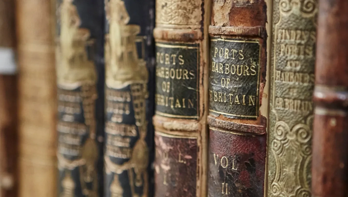
This guide is a brief introduction to the Museum's collection of manuscript and printed hydrography (charts), cartography (maps), written sailing directions, originally known as 'portolans', and pilot books.
This guide outlines the Atlas Collection of bound volumes of charts, maps and sailing directions held by the Hydrography section of the Museum. It contains manuscript and printed material and the range is world wide. Un-bound, loose-leaf and individual material is held in a general collection (see research guide P1). Most items in the Atlas collection are printed hydrography (charts), though there are also many fine examples of cartography (maps) and manuscripts, dating back even to the 13th century.
The defeat in the Channel, of the mighty Spanish Armada by an English fleet in 1588, proved to be an event of significant military, political and religious importance in 16th-century Europe. The failure of the Armada expedition to assist in a proposed large-scale invasion of England, finally extinguished the hopes and aspirations of a large group in England who deeply wished for the re-establishment of a Catholic monarch on the English throne and a return to close links with the Church of Rome.