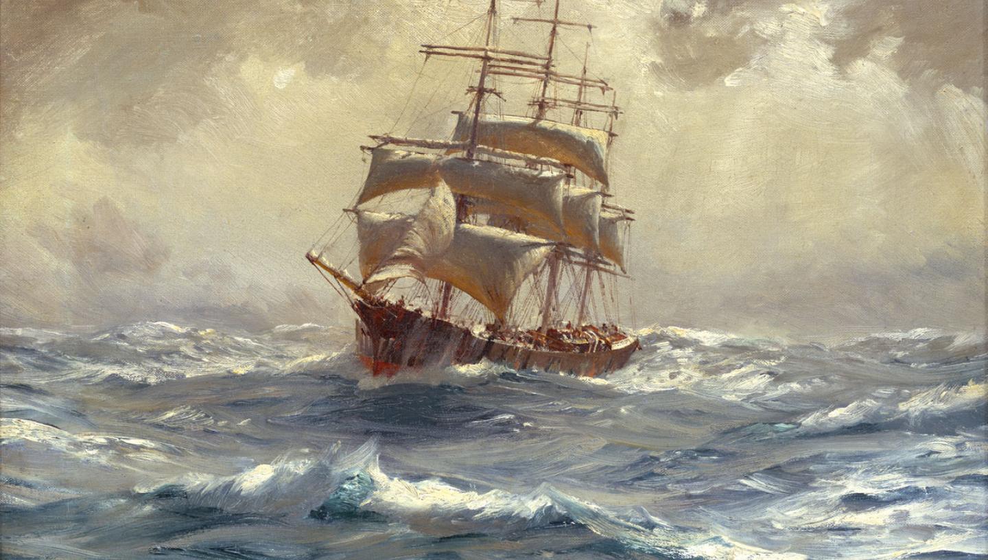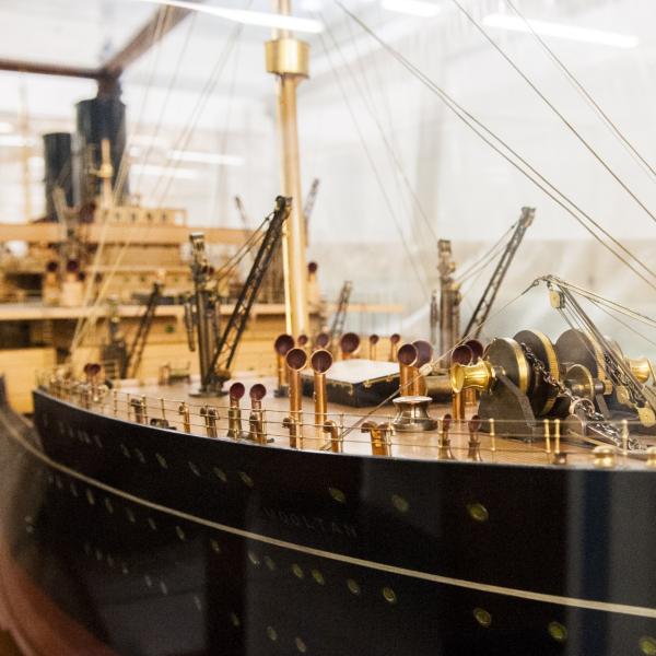
At the Caird Library we receive questions about sailing times between two ports of call very frequently.
Here's just one example: in the 18th century, how long did it take to sail between England and the coast of America?
Although a question like this may seem straightforward, it has some more complicated elements.
The answer depends upon the size of the ship, the size and number of sails the ship had, the time of year it sailed, its hull shape, and whether the ship was in heavy cargo, light cargo or a warship.
The vagaries of the weather (wind, pressure, fog, ice and sea surface temperature) would also have a significant impact, not to mention the direction of sailing: eastbound or westbound. Sailing times may also depend on techniques and methods of navigation, instruments and personal knowledge of ship captains.
Researchers’ first call when tracking down sailing times should be Lloyd's List. A newspaper reporting shipping movements and casualties, maritime news and other commercial information, Lloyd's List may help to figure out sailing times.
The earliest surviving issues date from January 1741, and it was published daily from 1837. However in many cases it only reports when vessels arrive at a port, without mentioning when they departed.
In the 18th century journeys of mail ships from London to New York took approximately two weeks longer than merchant ships from Falmouth to Rhode Island. Yet the distance covered by the merchant ships was actually shorter.
The book Ocean Passages for the World (Great Britain: Hydrographic Department, 1895) explains more about sailing times and distances around the world.
The Caird Library holds five continuous editions, the third of which was published in 1973. This edition mentions that typical passage times from New York to the English Channel for a well-found sailing vessel of about 2000 tons was around 25 to 30 days, with ships logging 100-150 miles per day on average.
The distance between the English Channel and the Coast of America is roughly 3000 nautical miles. The standard nautical mile is taken as 6080 feet (1.151 statute miles or 1853m).
Speed at sea is measured in knots, a knot being one nautical mile per hour and unit of speed equal to one nautical mile (which is defined as 1.852 km) per hour, approximately 1.151 mph.
Records as to the rate of sailing are of necessity very indefinite, the speed depending on so many varying circumstances.
Nelson's passage to the West Indies and back was made at an average rate of about 4 knots. He went into action at Trafalgar at less than 3 knots according to Sir Percy Watts, who read his thesis at the Institution of Naval Architects, July 19th 1905.
Another very useful account, Square Riggers on Schedule (Princeton University Press, 1938), gives the following New York to Liverpool passage times for North Atlantic sailing packets in the period 1818-1832 as follows:
- Fastest crossing - 21 days
- Slowest crossing -29 days
With an average distance of approximately 3,000 miles, this equates to a range of about 100 to 140 miles per day, or an average speed over the ground of about 4 to 6 knots.


