Essential Information

Location
Royal Observatory

31 Oct 2011

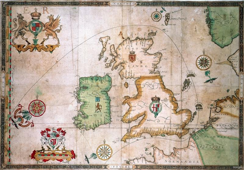
It seems that questions current to our project are active in my head all the time these days. You wouldn’t think that the new show curated by Grayson Perry at the British Museum, The Tomb of the Unknown Craftsman, would have much to do with the problem of longitude, but it raised some interesting questions for me when I visited this weekend. The show itself is surprisingly effective, charming and thought provoking. It presents Perry’s highly personal response to the British Museum through a combination of his own work and his selection of objects from the collections, with a personalised label commentary. It works around concepts of craftsmanship, culturally constructed meaning, and the sanctity of objects. This not only links nicely to questions that we’re considering in the ‘Things’ seminar in Cambridge this term (which you can follow on a separate blog), but also reminded me of ideas raised by Eoin in his fascinating paper, at the Exploring Empire conference in July at the National Maritime Museum, on the meaning of chronometers during the mutiny on the Bounty. More specifically, two objects got me thinking. The first, Head of a Fallen Giant (2008) (which you can see in the photostream here) is described by Perry as his attempt to create an ‘English ethnographic object.’ Resembling a cross between a barnacle-encrusted skull and a corroded mine this is ‘the skull of a decaying maritime power.’ I was struck at the high proportion of technological objects that were included in the encrusting layer, as well as many images of coinage. What would a similar object for our period’s growing maritime superpower look like? The second object was in the section on mapping, in which Perry’s point is how maps are culturally constructed, not just simple diagrams of reality. Of course, our entire project on longitude tells us that. Perry has included a large tapestry with a personal map of the British Museum surrounded by relevant London locations. This more specifically made me think of one of my most exciting finds to date, A New and Exact Map of Toryland, with the dangerous Rocks and Shoals of all the Jacobite Islands lying in the same Parallel nth ye Red Sea whose Latitude is 1688, and Longitude 1714 (1729), in the Bodleian Library. In this latitude and longitude were used as metaphors to navigate the eighteenth-century political landscape; a personal, cultural construction like Perry’s. Thanks to Grayson Perry and the British Museum, for a very enjoyable visit which also got me thinking.