Essential Information
Location |
Royal Observatory
|
---|---|
08 Jul 2014
We're nearly there. Ships, Clocks & Stars: The Quest for Longitude opens on Friday and hopefully people will think it looks good. With that in mind, it's a good moment to think about the historical context of the 1714 Longitude Act and that deceptively simple question: why did longitude matter? The Longitude Act gives a basic answer:
... it is well known by all that are acquainted with the Art of Navigation, That nothing is so much wanted and desired at Sea, as the Discovery of the Longitude, for the Safety and Quickness of Voyages, the Preservation of ships, and the Lives of Men ...
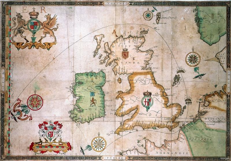
By 1714 seafarers had long needed to know where they were to avoid danger. While safety was a basic concern, they also appreciated that better navigation - of which the accurate determination of longitude was the tricky last piece - could increase speed and efficiency, and thus profits. And the potential profits were growing as the volume of long-distance trade increased, something this 1686 chart of French and Spanish trade routes shows: It's worth thinking about the sums at stake. In 1685, it was claimed by a Frenchman that Dutch and English trade with Asia was making profits of between 12 and 15 million livres (£10 million then, or more than £870 million today). He was probably over-egging it but English imports from Asia have been valued at nearly £600,000 (over £50 million today). These were assets worth preserving. Nor should we forget the risks to human life. Between 1550 and 1650 one in five ships was lost between Portugal and India. Crew members had a one in ten chance of dying during these voyages. Of course, longitude wasn't the only issue. Seamen’s health, ensuring supplies of fresh water and understanding weather patterns were all pressing problems. Yet it was longitude that repeatedly attracted the attention of those in power - it's notable that the chronology of rewards for longitude solutions followed the sequence of European maritime dominance, from Spain in the 16th century, through the Netherlands in the 17th, to Britain and France in the 18th. Obviously shipwrecks happened for all sorts of reasons, including the weather. Willem van de Velde's 'Two English ships Wrecked in a Storm on a Rocky Coast' illustrates this in suitably dramatic style: But there were voyages on which longitude mattered a great deal. In the early 17th century, the Dutch established a route into the Indian Ocean that led east from the Cape of Good Hope until reaching the correct longitude to turn north towards Indonesia. If they sailed too far, the treacherous reefs of Australia’s western coast awaited them, as the Duth East India Company ship Batavia discovered when it was wrecked in 1629. Of the 322 on board, 40 drowned during the shipwreck, and more than 110 men, women and children were killed as they awaited rescue in a tale of mutiny and murder that made for gruesome (and very popular) reading back in Europe. Up until the eighteenth century, then, finding longitude was one of several challenges seafarers faced. As different nations became the dominant players in maritime affairs, their political and commercial leaders periodically offered encouragement to anyone offering solutions. At the same time, mathematicians, astronomers and cartographers came to see longitude as an intellectual and practical challenge for which they might have the answer. They would put it on the political agenda in Britain in 1714 - more on that when we talk about William Whiston in a future post.