Navigating from Captain Cook to GPS
Despite trailblazers like Captain Cook, the new techniques for navigation were slow to catch on.
Getting the new longitude techniques on board at least a few ships was an important initiative that required time and investment. It took decades before they were established as part of the sailor’s routine.
You can lead an old war horse to water
The first attempts to force Masters of Navy ships to learn the new astronomical techniques were a failure. They did not take kindly to the idea of compulsory land-based training and only fourteen Masters seem to have undertaken it in the two years following the Board of Longitude’s suggestion.
Chronometers or lunar readings or both
The Commissioners of Longitude spent as much energy on promoting astronomical methods as horological, although it was understood that the former were more readily available and an essential complement to timekeepers. They spent large amounts of time and money on making, simplifying and trialling timekeepers. There was only so much they could do, however, because timekeepers were still rare and expensive items.
Proof in the Pacific: the Cook voyages
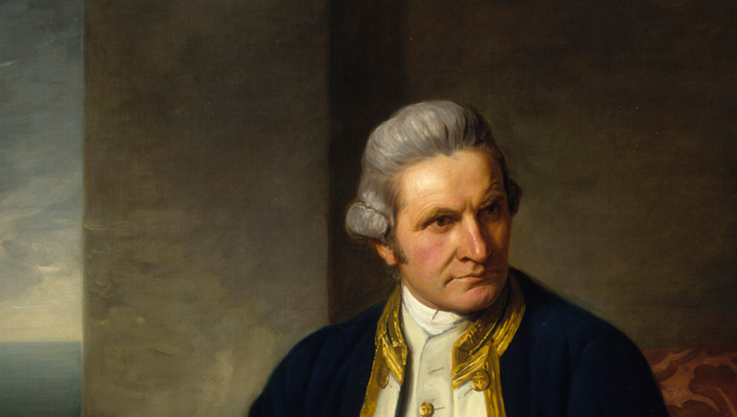
James Cook led three ambitious circumnavigations that would have a lasting impact on European visions of the Pacific. On the first (1768–71), he commanded the Endeavour, which was sent to make observations of a transit of Venus from Tahiti.
The Royal Society planned the expedition, with the King’s support, and Maskelyne defined its astronomical purposes and equipment. Among their equipment, they took sextants and copies of the Nautical Almanac. After learning from the on-board astronomer, Cook himself was using lunars by the time they reached Brazil.
Cook’s friend, K1
Shortly after Cook’s return in 1771, plans were afoot for a second voyage. This time the Board of Longitude was directing the astronomical aspects and appointed observers armed with sextants, Nautical Almanacs and new longitude timekeepers. The ‘Longitude Watches’ were Larcum Kendall’s first marine timekeeper, K1, and three by John Arnold.
As well as keeping the watches running, the astronomers had to monitor their performance, checked against dead reckoning, lunar-distance observations and other astronomical observations on land; in other words, they had to compare the results of all available methods for fixing positions.
Kendall’s watch performed superbly, Cook coming to see it as his ‘trusty friend’ and ‘never-failing guide’. By the time they reached the Cape of Good Hope on the passage home in 1775, he was a convert.
Putting longitude to work
Cook’s voyages did not just test the new longitude methods but also began to apply them to navigation and surveying. After all what use was position-fixing without good charts?
Lunar-distance and timekeeper methods were used both to check and supplement each other as well. Yet there was a hierarchy: astronomical determinations were considered more certain than those from mechanical timekeepers alone.
Although they formed just a fraction of maritime activity in the period, the voyages of exploration of the late eighteenth century showed that timekeeper and astronomical methods of longitude determination could be applied at sea.
A slow burn
As the decades progressed, more people were trained and more instruments became available. Yet it was a slow process and widespread adoption was not inevitable.
By the nineteenth century, the tools existed to allow naval officers and other travellers to chart their courses accurately and to carry out detailed surveys. The world slowly became better mapped and defined.
While improved navigation and charts helped reduce the risk of sea voyages, they also supported military and imperial endeavour, and the exploitation of many people and resources for the profit of a few.
Modern navigation
It was not until the twentieth-century advent of, first, wireless radio signals and, later, positioning systems including satellite navigation (GPS), that these nineteenth-century methods started to become obsolete. On 1 November 1968, it was decreed that ships of the Royal Navy should cease to carry marine chronometers, although sextants, almanacs and, of course, dead reckoning remained as a back-up to electronic devices.
Given the potential vulnerability of a military-backed system like GPS, it is worth remembering that, should a ship in open water lose communication and its longitude, it is only by astronomy that the latter can be re-established.