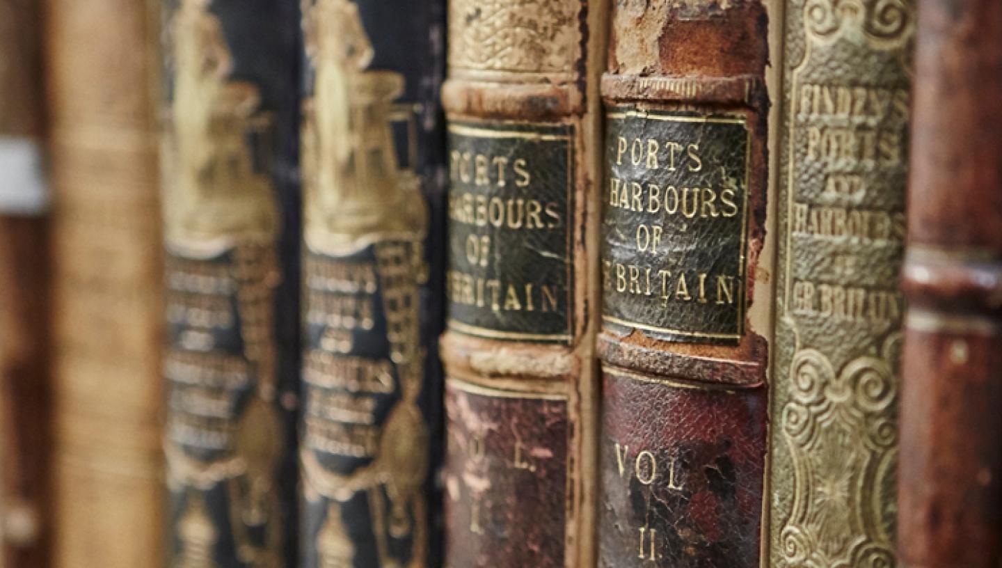
This guide contains manuscript and printed material and the range is worldwide. Un-bound, loose-leaf and individual material is held in a general collection (see research guide P1). Most items in the Atlas collection are printed hydrography (charts), though there are also many fine examples of cartography (maps) and manuscripts, dating back even to the 13th century.
The Atlas Collection is held on site at the Museum (unlike the general collection, which is stored at out-stations) and is readily accessible. Printed volumes, catalogued with unique item numbers, are in the Library. Manuscript volumes, catalogued under a portulan number (P), are held by the Manuscripts department. Both types of material can be seen in the Caird Library.
Material in the Atlas Collection falls into four groups:
- Early (pre-1900) pilot books, sailing directions and sea-atlases
- Post-1900 British Admiralty pilot books.
- Cartographic atlases
- Manuscript atlases.
Early (pre-1900)
Pilot books, sailing directions and sea-atlases
The Museum holds around 400 volumes containing some 20,000 charts. Through the ages they have had various names, most commonly: 'Portolans'; 'Isolarios'; 'Rutters'; 'Waggoners'; 'Sea-Atlases'; 'Sailing Directions'; and 'Pilot Books'. The earliest written books of sailing directions, the portolans (from which developed portulan charts), concentrated on the Mediterranean. The 'Isolario', or island book, was a variation. Notable examples in the Museum's Manuscripts Section are by Christoforo Buondelmonte dated 1420 (p.13) and Bartolomeo dalli Sonetti, dated around 1485 (p.21).
The first printed atlas showing both charts and written navigational directions, was the famous De Speighel der Zeevaert, produced by the Dutch pilot Lucas Jansz Waghenaer in 1584–85. The Library holds several editions of his sea-atlas, including the 1588 English translation known as the Mariners Mirrour. Numerous sea-atlases were later published by other makers from different countries, led by the Dutch, among whom the Blaeu, Colom and Van Keulen families were prominent. From Britain came the work of Dudley, Seller, Collins and Mackenzie Snr. French material was issued by Jaillot and Bellin.
From 1800 onwards, increasing numbers of sailing directions and pilot books were published, by the British Admiralty as well as independent companies, usually with navigational information but not charts, which were printed separately. The Museum's holdings of post-1800 directories include important publications such as Horsburgh's The India Directory (several editions) and work from Findlay, Imray, Laurie, and Heather.
NB
There is a two-volume guide to sea-atlases and cartographic atlases (see below), the Catalogue of the Library - Atlases and Cartography. Volume one lists the atlas holdings alphabetically under the following sections: Ptolemy; Italian; Dutch and Flemish; French; British; and (under one heading) German, Russian, Spanish, and American; plus a section on modern (post-1840) atlases. Volume two is an index of makers, charts, and chart and map locations shown in the entire Atlas Collection (cross referenced to Volume one by atlas and chart numbers).
Post-1900 British Admiralty pilot books
Provided by the British Admiralty, this collection gives world wide coverage (each area generally contains four or more volumes) and includes the latest publications available. The hydrography catalogue formerly consisted of 73 books, now reduced to 72, and though the withdrawn material is not held at Greenwich, current issues are always available for research.
Cartographic atlases
Printed cartographic material, bound in atlases, forms the bulk of the collection, though a significant number of loose maps are in the General Collection and the Grenville Collection (see research guide P1). As their detailed information concentrates on land features, they are termed maps rather than charts, which are specifically for marine navigation.
The collection includes work by some of the great names in mapmaking:
- Claudius Ptolemy's Geographia and Cosmographia
- Atlases produced by Gerhard and Rumold Mercator
- Maps published by Abraham Ortelius, including several volumes of the 1570 Theatrum Orbis Terrarum
- John Speed's 1611 The Theatre of Great Britain, the earliest published atlas of the British Isles with its attractive maps of shires and provinces
- Maps by Willem Janszoon Blaeu and his son Joan Blaeu. Possibly the most impressive cartographic material in the Museum, they provide almost world wide coverage and are contained in a succession of books, culminating in the magnificent 11 volume Atlas Maior of 1662–65 (the Museum has three sets).
Full details are in the Catalogue of the Library - Atlases and Cartography (see above).
Manuscript atlasesBoth hydrographic and cartographic in format, these are stored with the Museum's Manuscripts Section. They range from the 13th to 18th century and include work by Martines, Freducci, and Oliva and Agnese, as well as the impressive Dartmouth Collection. Details of most of the atlases are in the NMM monograph Handlist of Manuscript Sea Charts and Pilot Books executed before 1700. Fuller details of all manuscript atlases are in the Manuscript Section records.
Next steps
Other guides in the series which may be useful for researching charts and maps:
Research guide P1: Charts and maps in the National Maritime Museum
For general research help see:
Research guide A2: Principal records for maritime research at the National Maritime Museum
Although care has been taking in preparing the information contained in this document, anyone using it shall be deemed to indemnify the National Maritime Museum from any and all injury or damage arising from such use.